Another Weekend, Another Two Mountains — AAR

It’s not the best image, but it conveys the feel of looking out over the trail breakover on the way down from the Oreana Peak staging area. Sometimes these views give me the willies!

After another long week, I spent some time Friday afternoon looking for a summit to activate. Both Mt. Siegel (W7N/TR-003) and Oreana Peak (W7M/TR-004) were on my list from a previous search. Because of their proximity, they looked to be doable in a single trip.

So, the stage was set for a twin activation on Saturday morning, 13 August 2022.

I loaded up a few things to take with us, mostly water, a snack, and checked that I had radio equipment. I roused The Girl into the rig, locked the front door of the house, and we headed out. We made a quick stop at McD’s for a bite, a coffee, and a water and then headed south on US395. I stopped in Minden to refuel the rig and buy a sandwich.

We continued through Gardnerville and then took Pine Nut Road east for a few miles. I missed the turn and found myself at the transfer station, but that was not a big deal as it was only a quarter of a mile. We continued on an increasingly rough road to the Public Lands access. That road went on another mile or so and because Lone Pine Canyon Road.

That is, if it can be called a road. It is really just a two-track trail that varies from packed soil and sand to some rounded cobble to boulder size rocks. The pace declined to under ten miles per hour.

Yet, the trail was not particularly difficult. It was just rough. We continued to climb up the valley, in and out of the drainage, picking our way through the rocks when necessary and driving over them as needed.

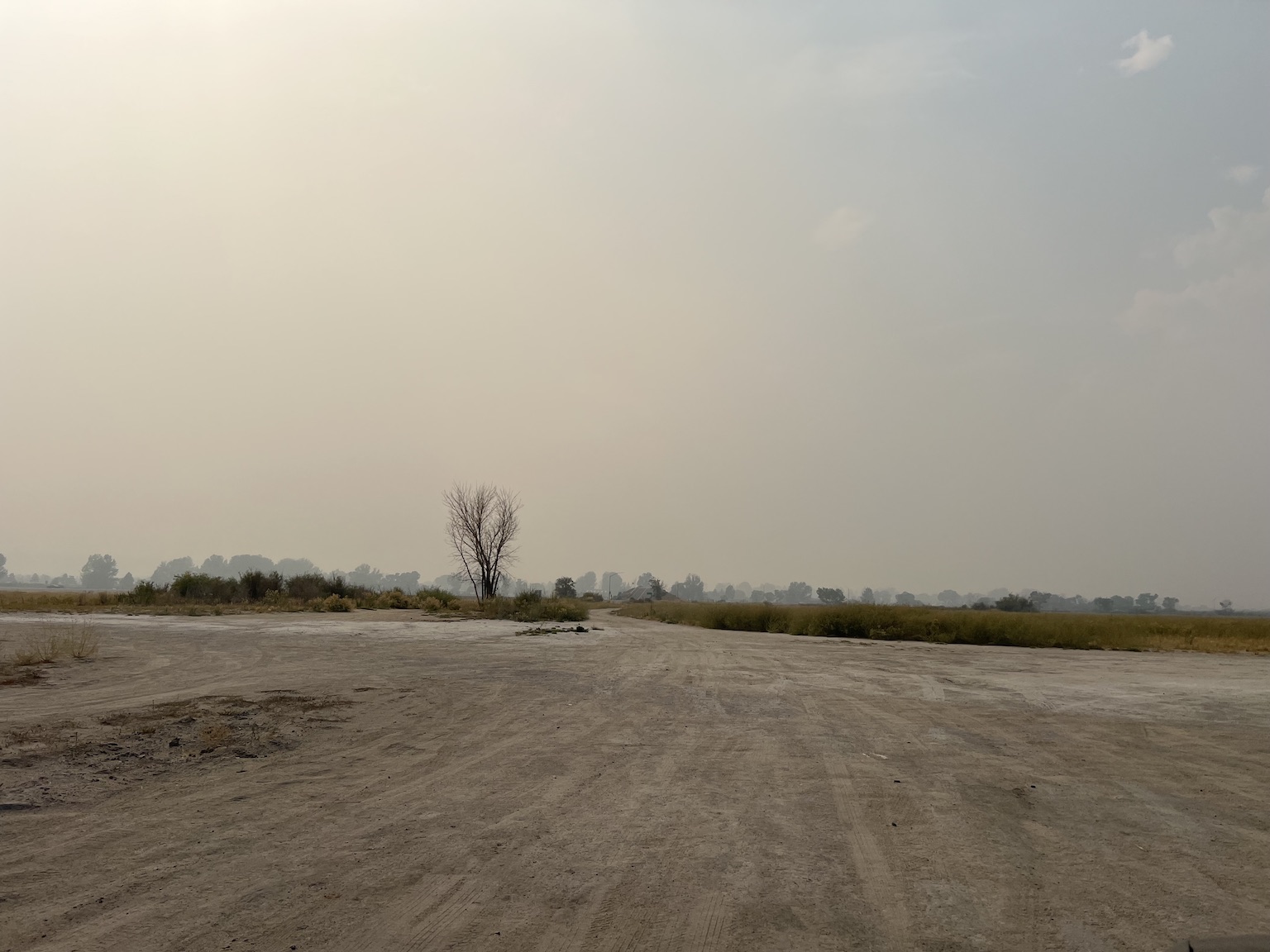
We entered a burned out area, the Manzanite standing skeletal with burned bark and bare white limbs stretched to the sky in a dying supplication for mercy that did not come. The grasses were already returning, but the shrubs will be a long time before they grow again.

This part of the drive out was just a slog. I stopped a couple of times to let The Girl out to sniff and pee. I will say I took advantage of the stops a time or two myself. I guess the coffee was working.

As we turned south along Buckeye Creek, there were places that the trail crossed old flood outwashes. These could be trip-enders with very angular (and sharp) outcrops of rocks. They could tear a sidewall easily. I took care crossing through these areas and worked to keep my head clear of the usual woolgathering I do when driving boring roads.

The trail up to Mt. Siegel is obvious in this image. That trail was not bad, but care was required to protect the tires.

I hit the intersection of the trail to Oreana Peak and paused. I could see the trail up to Oreana Peak and it looked easier than the one up to Mt. Siegel. Given how far out I was, I wanted to do both peaks on this trip.

The trail up to Mr. Siegel was not too bad. The 4Runner crawled up just fine. But I was very careful to watch for rocks. It would be easy to tear a sidewall on this trail. There were just enough loose rocks that the rig slipped a bit now and again. A torn sidewall would have been a very bad afternoon.

Oreana Peak is on the far right. I think that is Smith Valley in the background.
There is a small staging area at the top of the Mt. Siegel trail. I found a place to park the 4Runner off the trail and paused for a look around. This gave The Girl an opportunity to sniff around as well as a chance for me to catch my bearings.

I might have been able to drive the 4Runner up a bit farther. I decided to hike it.
The Girl and I headed up the two-track toward the summit. I had my pack that contained my station plus water for both of us. The sun was quite hot even if the air temperature was moderate. That, combined with the altitude (about 9,200ft) had me puffing a bit as i worked my way up the slope.

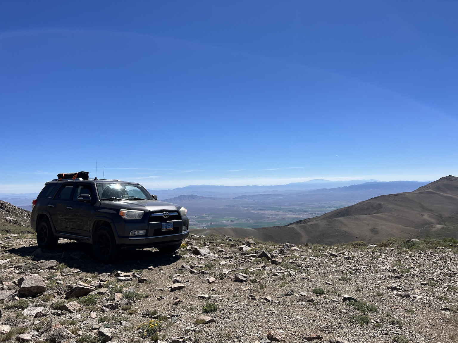
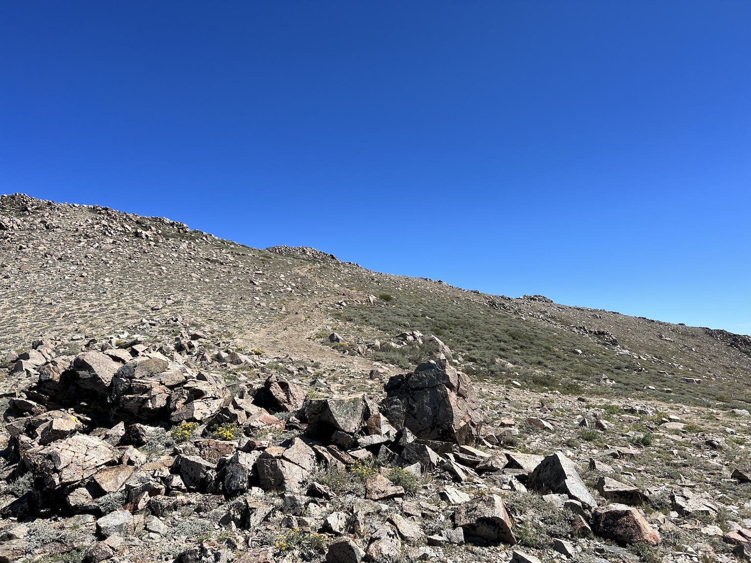
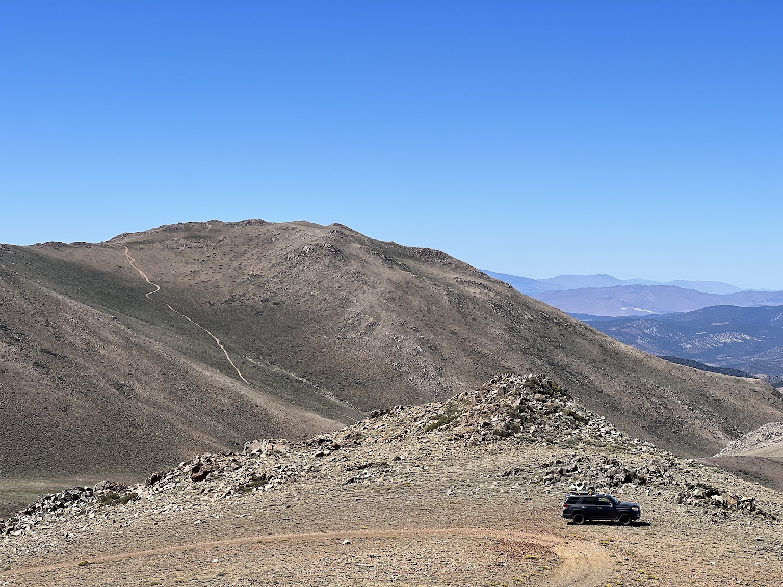
I looked around a bit and noticed the 4Runner down at the staging area. That called for a pause for an image. So I made it.

Yep, that is the 4Runner down at the staging area.
We walked around the rock-pile summit and I found a place where I could set up the station. I used the Elecraft KX2 and an end-fed random wire antenna to a very light six-meter carbon fiber mast. I had the station setup in a few minutes. I then gave both of us some water.

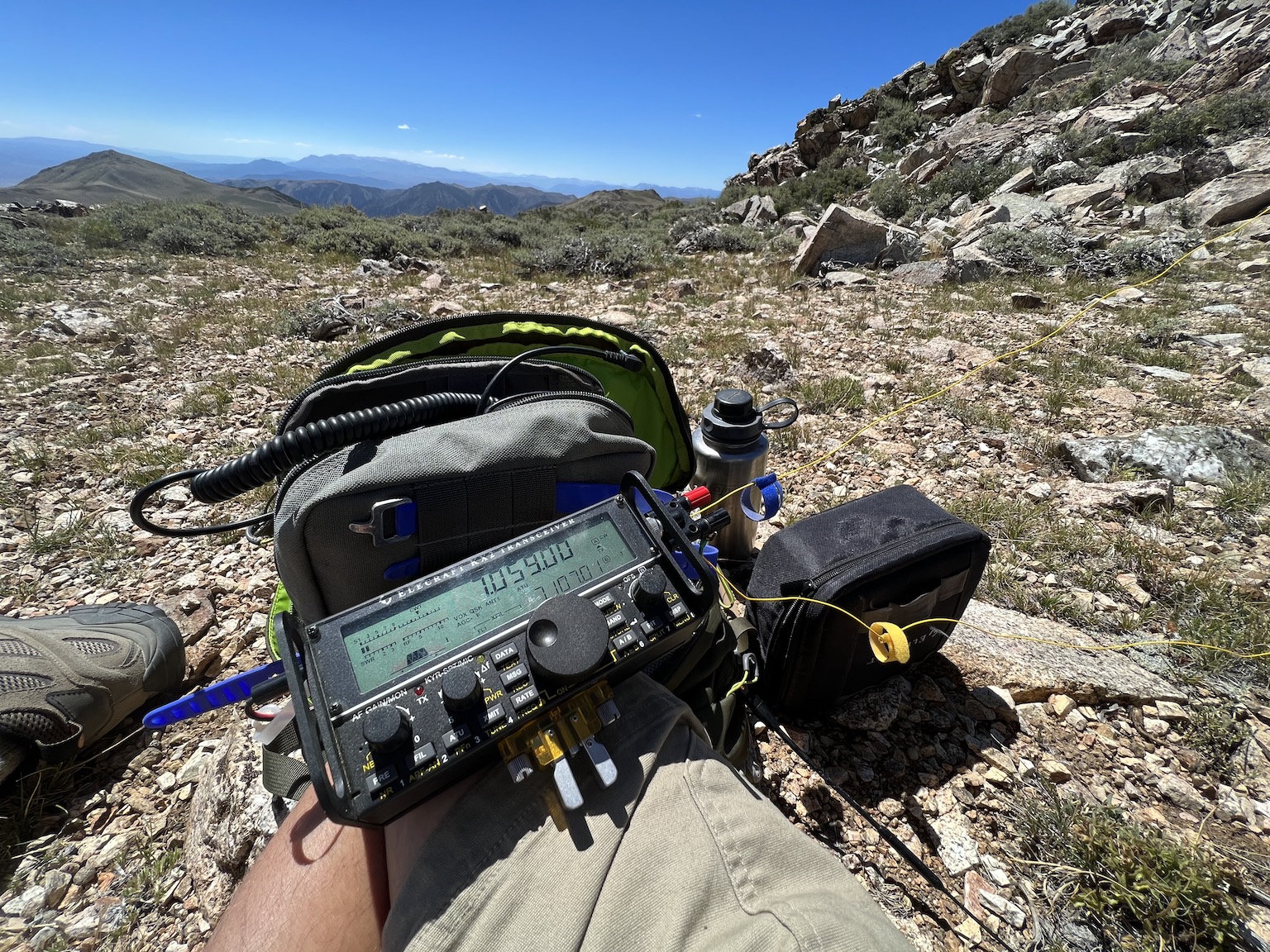
My cell service was a little iffy, but I did get a spot out for my location. I started calling and made a number of contacts right away, including a few summit-to-summit contacts. It was not difficult to get my quota.

But, I noticed that running my iPhone with the screen bright and the lock time set to five minutes was a problem. The sun shining down on us was overheating more than The Girl and I — it was overheating my iPhone. Given I log my contacts on my phone this could be a problem.

As happened during my activation of Chickadee Ridge, my phone was turning down the screen brightness to reduce heat. Given I had my quota, I decided to call it and get ready to do the other peak.

Here’s the Elecraft KX2, the factory key, a microphone (yes, I did operate phone), and the water bottle. The yellow wire is the antenna.

I gave The Girl some more water and we headed back down the two-track. It was not a long hike, but care was required as the trail was fairly steep and rocky. A fall would not be a good thing.

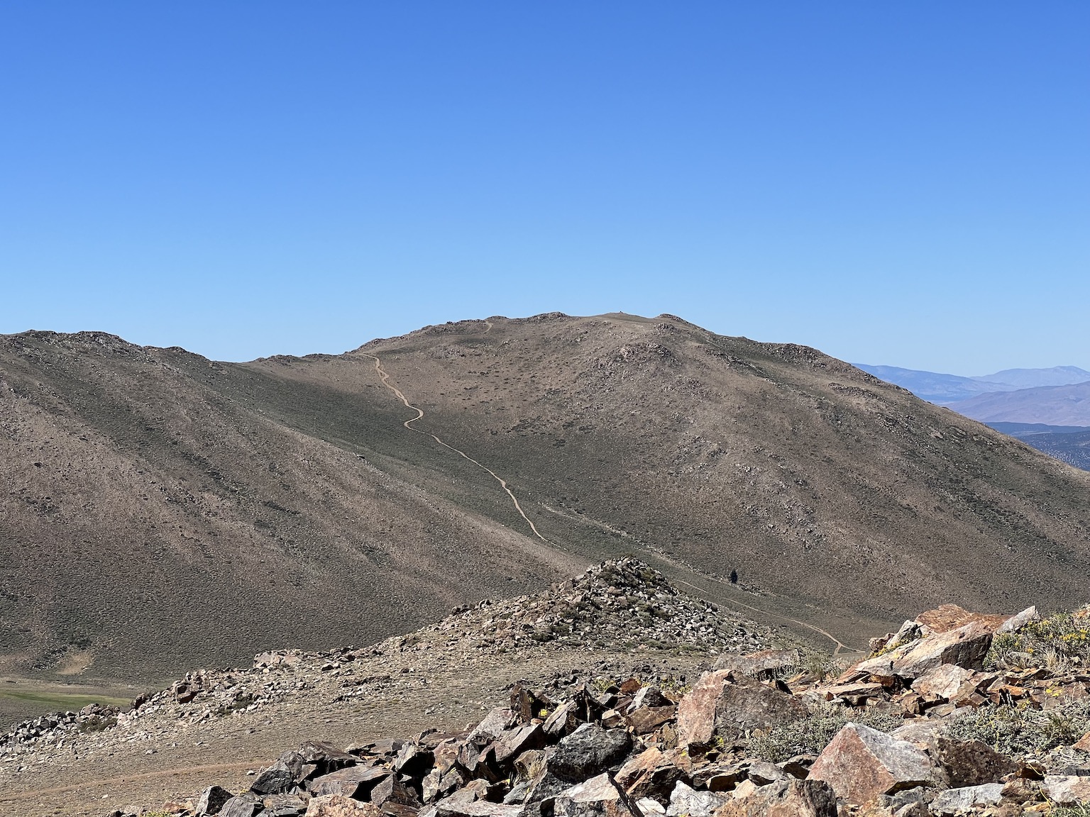
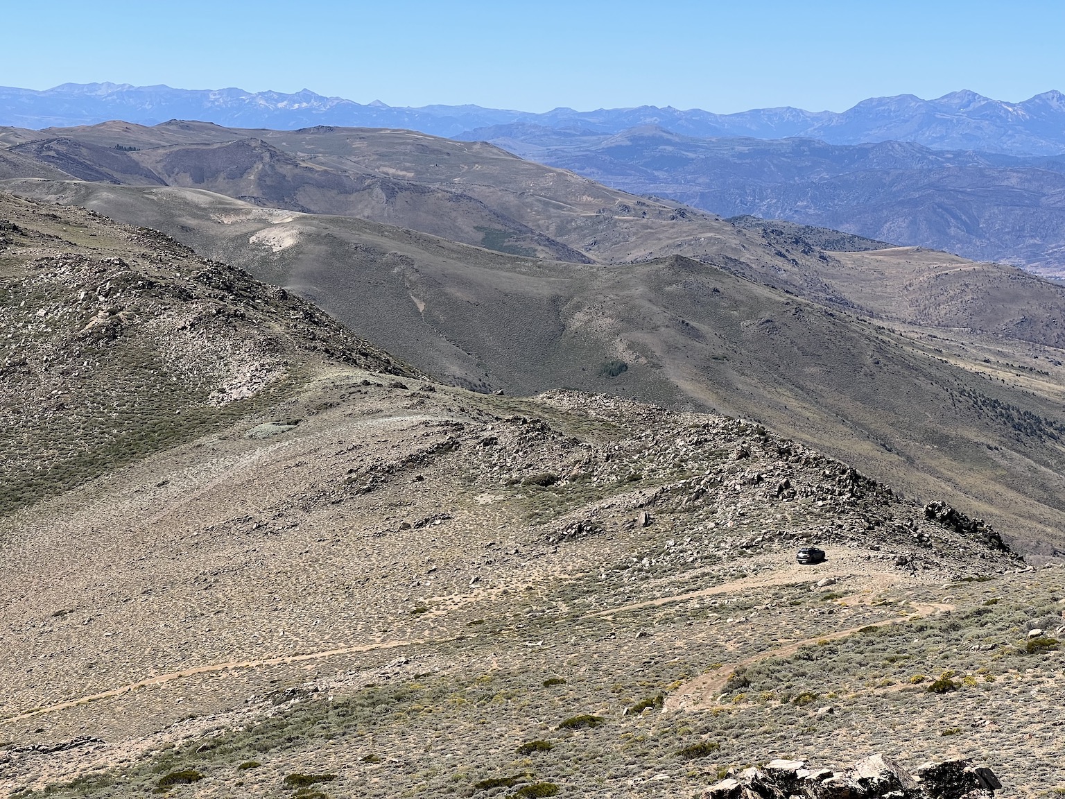
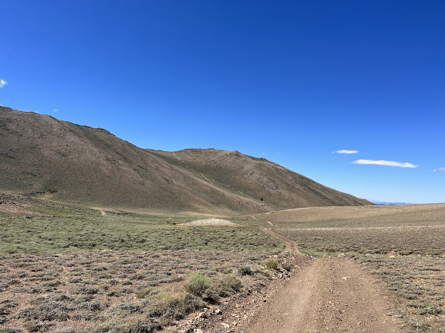
While working my way down the trail, I paused to capture an image of Orean Peak. The trail to Mt. Siegel is in the foreground. The trail to Oreana Peak is in the midground with the peak in the background. It is quite breathtaking.

The Mt. Siegel trail is in the foreground. Oreana Peak and its trail is in the midground and background.

At the Mt. Siegel staging area, I looked out over Carson Valley and saw that someone had put up a cross. I did not check to see if it marked a grave.
I put The Girl and my gear into the rig and climbed in myself. I knew the trip back down the Mt. Siegel trail would require care to protect the tires.

I was not disappointed. The rig skittered and slid a bit on the way down, even in low-low. I had to work the brakes a bit and be careful to avoid a slide-out and tire damage. So I took my time and was very careful.

I made it down with no problem. I made the right to the Oreana Peak trail along Buckeye Creek (not much of a creek at this location) and headed back up.

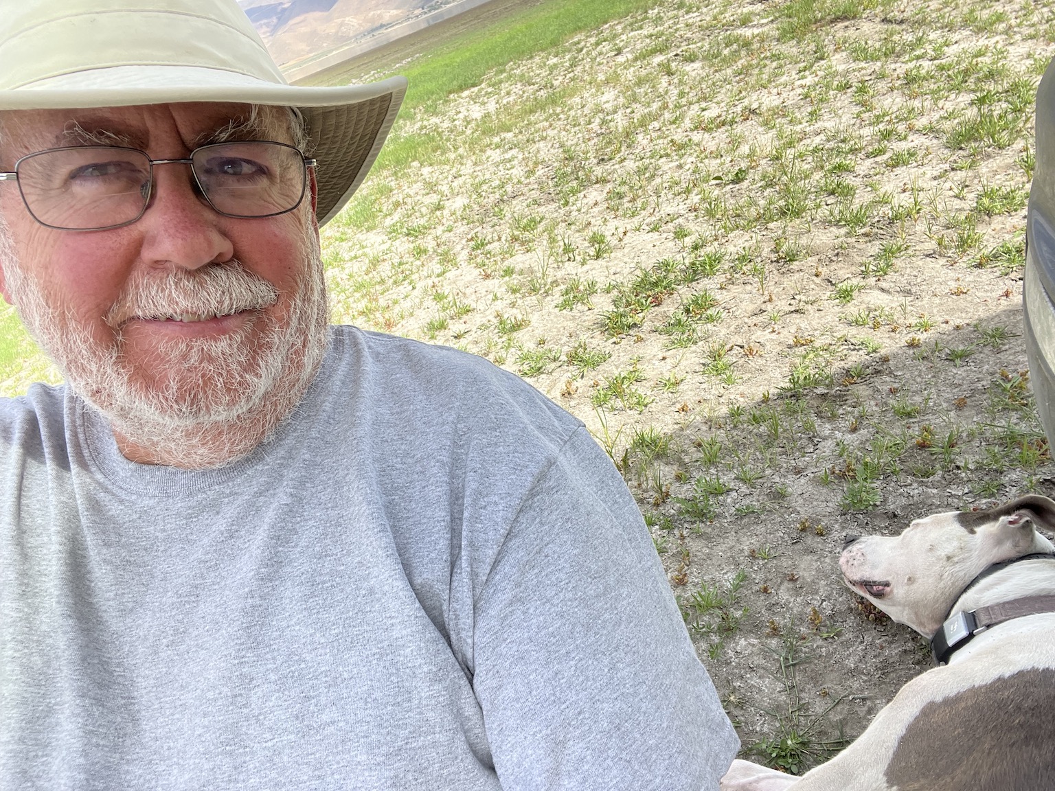
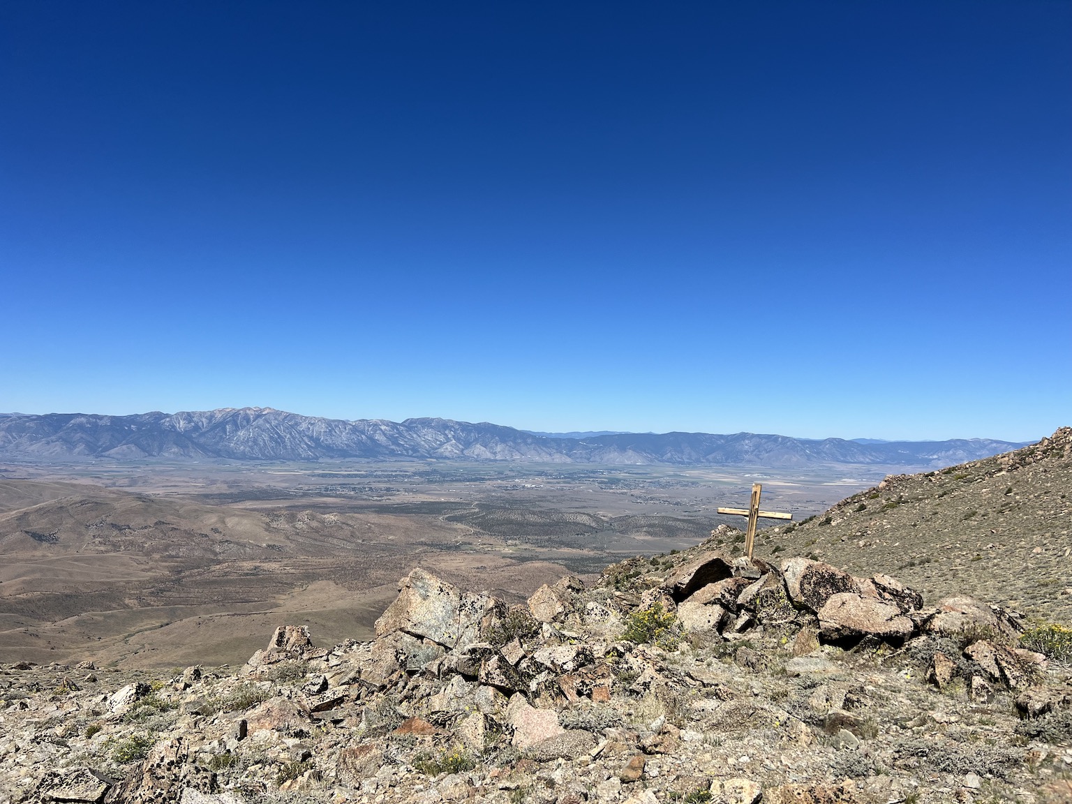
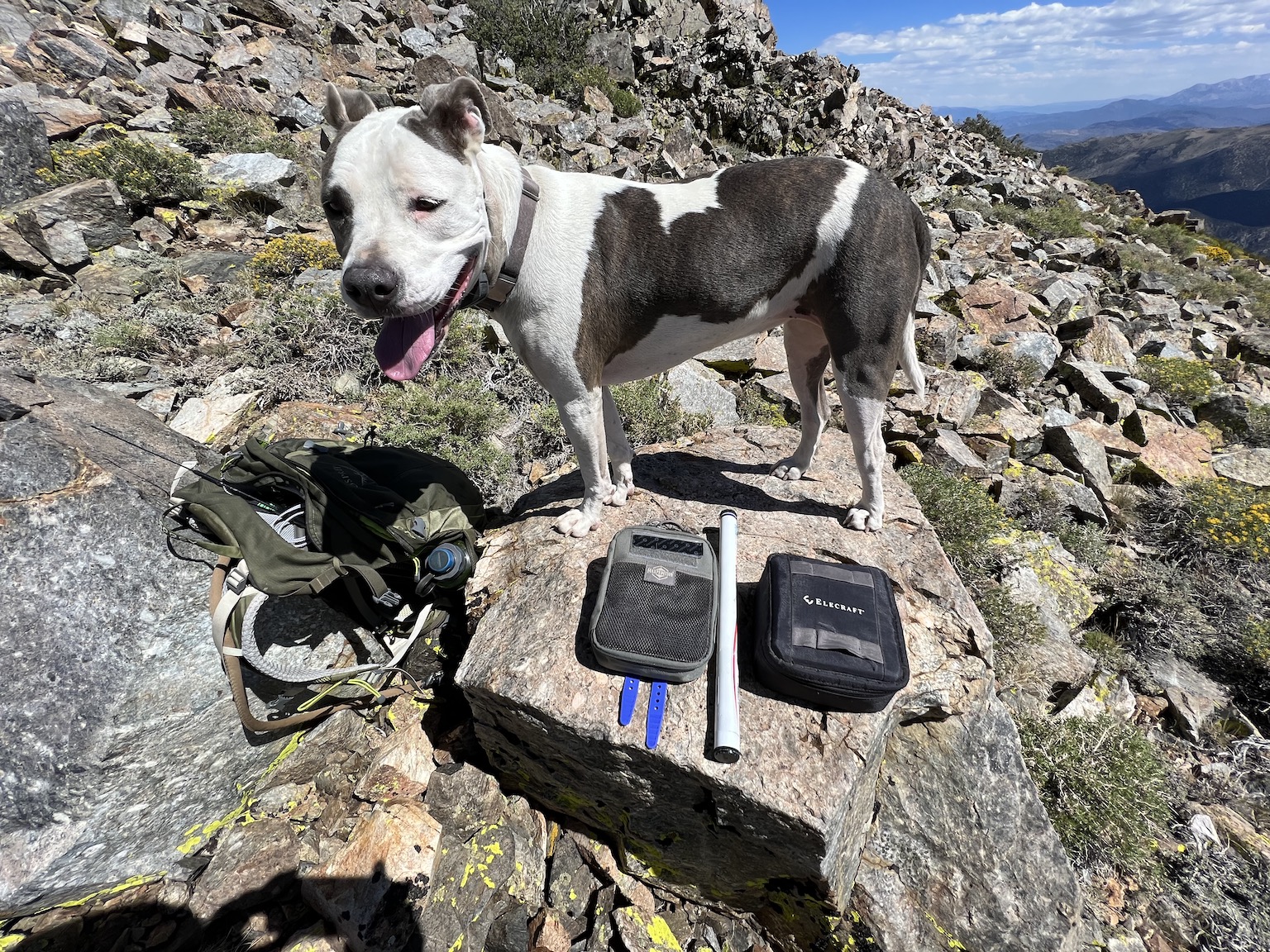
When we got up to the Oreana Peak staging area, it was clear this was another bare summit with no shade. There was not enough rock outcrop to make shade. And the sun was just miserable. And, I was getting tired from the required focus, the altitude, and the heat.

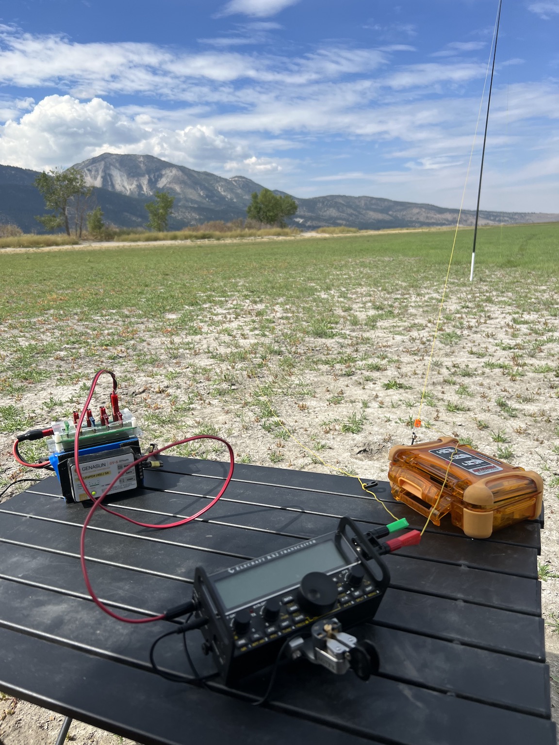
So I put up the antenna, setup the radio, and made my contacts. The Girl was so hot she was crowding me trying to get into my shade. That wreaked a bit of havoc on my sending. I do not need help with that, particularly with the Elecraft key!

I kept the iPhone in my shade and that helped keep it from overheating again. I now carry a notebook and a pen in a cargo pocket. I can always log contacts on paper.

Yes, she was hot. No, I did not take a picture of the deployed station. I was hot too.

While we were sitting there, resting a bit (and she trying to crowd into my shade still), I heard something that sounded like a pickup scrabbling up the trail to the staging area.

“That’s strange,” I thought, “I did not see a vehicle approaching up the trail.”

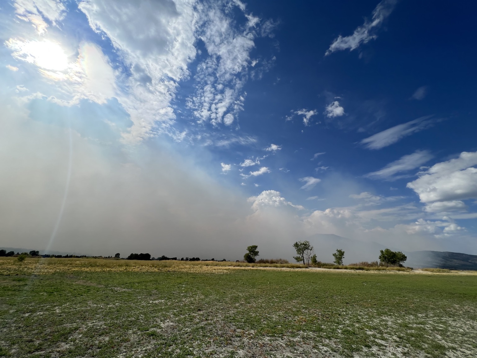
Then the wind hit us. It was a strong gust and I was glad that the mast was put away. It might have been damaged. The wind was strong enough to rattle the rocks on the slopes of Oreana Peak.

As I headed down the trail from Oreana Peak to the staging area, I made this image of the rig and Mt. Siegel. Carson Valley is in the distant background.
I reloaded the pack we started back down to the staging area and the rig. Four-legs ran ahead, undaunted. The old man, however, picked his way carefully down the trail. Nothing good would come from a fall at this point in the trip. The view of the rig on the staging area with Mt. Siegel in the background struck me. I made the capture.

It was not long and we were back at the rig. I got out more water for The Girl. I dumped the pack into the rig. I drank water myself. I was gassed… not completely, but I was damned tired.

So I put us back into the rig and we started the long trail back home. It was about two hours from US395 to where we were. It would be about two hours back. And I needed to be focused for the drive.

On the way down from Oreana Peak, this is the trail (after the steep part). Mt. Siegel and its trail are in the background.

But we made it. As were were exiting Lone Pine Canyon, my buddy Greg called. “Are you home yet?”

“Nope. I’m still working my way down the trail. I’m about 15 or 20 minutes from the highway.”

“I thought you’d be home by now!”

“No… it is a long way out there and the trail is pretty rough. But I’ll be home soon. Thanks so much for calling and checking on me.”

We chatted a bit. Then he headed off for supper. I continued the drive.

Before long the trail turned into a road. Then the road got better. I no longer had to be as focused on navigating rocks and other obstacles. The Girl was settled into her seat, after having a couple of bouts with FOMO that there might be critters out there.

As I drove into Gardnerville, I started to think about supper… and the day. It was a learning experience for me. It was a long day. It was completely worth taking the time to do the second peak because of the long drive out there. I was hungry and tired.

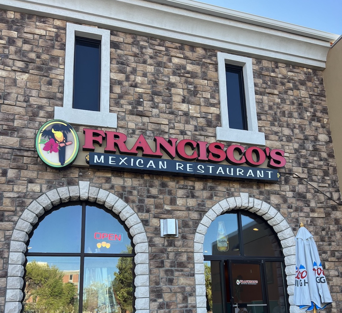
On the way home I decided to stop at one of my favorite Mexican restaurants, Francisco’s. Some hot chow and una Margarita Grande sounded so good. Well, maybe dos Margaritas…

As I continue to activate SOTA peaks, I continue to learn things about operating and the support equipment I need to make this more fun. This outing was satisfying, but not fun.

  • The issue of the iPhone overheating is a problem. It is my primary logging tool for portable operations. I need a way to keep it shaded so it does not overheat. Or, I need to change the way I log contacts such that the iPhone is no longer part of the system.
  • The radio also gets hot. To date, it has not gotten hot enough to shut down. But, it might. That would be a show-stopper. I need to mind the radio temperature. Some shade would keep it a lot cooler.
  • Sitting on a rock is not fun for this skinny-assed old man. I have a foldable chair. It has to go into the pack so I have a place to sit.
  • A (very) small table would make summit operating a lot more comfortable. The portable table I have is to heavy to pack. That is a problem with a solution.
  • The factory key for the Elecraft radios (the KX2 and KX3) does not work well for me. That might be a topic for another weblog entry. Nonetheless, it is a decent backup (for now), but should not be my primary key.
  • The AME key works reasonably well for a field key. Holding it in my hand is not the best answer. The leg strap is better, but not perfect.
  • I am afraid to be strapped to the radio. Sera can be impulsive and I might need to move quickly before she can get into trouble. I am not sure how to solve this problem.
  • Although I really like running the antenna directly from the radio, this has its own issues. If the wind rises suddenly, the pressure on the mast creates a risk of dragging the radio off its perch. A hard landing might damage a (very) expensive radio. I need to think about this problem and develop a solution.
  • Francisco’s is not a bad way to end a SOTA (or POTA) day!
This is a favorite place in the summer. The Girl and I sit on the patio. She is very good.

Washoe Lake SP, K-2640, AAR 11 Sept 2022

It begins…

I intended to drive up to Washoe Lake SP Saturday evening to get out of the house. The Girl is always ready for an outing. I thought I might buy a cheeseburger from DQ and a Blizzard, share both with her, and then play a little radio.

But, the Mosquito Fire had different plans for me. The cheeseburger and Blizzard were good and both made the Girl happy. But when we drove over the summit into Washoe Valley, I knew the outing was done. I exited I-580 at Bellevue Road and could not see the lake for the smoke. So, I turned around and drove home.

When I rose Sunday morning, the air was much clearer. So after getting a bite and a coffee, The Girl and I headed north to Washoe Lake. The temperature was much cooler than it had been for weeks. The walk was nice. But on the way back I realized I left two liters of water on the counter at home.

So we drove over the the east side of the lake, where there is a fuel depot and convenience store. I bought a couple bottles of water and a bag of beef jerky. Then we were back off to the operating area.

I decided to erect a SOTAbeams Bandsprnger that was in my inventory. I have a number of end-fed random wire antennas in my kit that I built. So this unit languished. But I wrote a few weeks about about the abortive attempt of a good friend to deploy his Bandspringer. So I thought I would set my instance up and test it.

Aside: The Bandspringer is an end-fed random wire (EFRW) antenna. That is, it is not a resonant antenna. Therefore, it presents an impedance of around 250-350 ohms at the feedpoint, an impedance that the antenna matching unit in many transceivers can accommodate (up to a SWR of about 3:1).

In contrast, and end-fed half wave (EFHW) antenna is a resonant antenna that will present a low SWR at its fundamental and multiples of the fundamental frequency. It will present a very high impedance at the feedpoint, something on the order of 2,500 ohms or more. Therefore, some kind of matching transformer is required at the feedpoint to bring the impedance down to a value the internal (or external) antenna matching unit of the transceiver can match.

The two antenna types are quite different, even if they appear to be similar.

I ran a simple station for this outing. It was the Elecraft KX2 to an end fed random wire in an inverted vee configuration. The battery is a 4.5Ah Bioenno LFP and the key is the Begali Dual Adventurer. I was running ten watts.
The directions for the antenna are not very good. But I use this type of antenna often and knew what to do. I ran the radiating wire out in the direction I wanted to deploy the antenna. I ran the counterpoise wire out parallel to it but a few feet away. I then setup a six meter carbon fiber mast that is super quick to deploy, ran the tip through the fixture used to attach the wire to the mast, and spaced things out so the mast was the right distance from the radio table.

I staked the distal end of the radiating wire and walked back to the operating point. I staked the radiator at a point about three feet upstream from the feed point to provide some strain relief at the radio should the wind blow.

It was then a matter of connecting the antenna to the radio, affixing the key to the radio, and connecting a power supply.

Total setup time was about 15 minutes. I checked in to the 40m Noontime Net with ten watts phone and then played around hunting other activators. They were not hearing me.

I decided that meant I should just run a frequency. So I gave The Girl some water and got some for myself. I found a jar of honey-roasted peanuts in the rig and had a snack (The Girl begged some peanuts as well). I picked a frequency on the 20m band and spotted myself.

After a few calls I started working callers. I had a couple of small pile-ups that were fun to work. When the responses stopped coming, I switched to the 17m band and worked a few more. I decided to try the 15m band, but when I listened there the noise level was S5 (that is pretty high for a rural area).

I went back to the 20m band and worked a few more stations. Then I shut down the radio and just sat back for a moment.

We had a good walk before I set up the station. As I prepared to put the kit away, I stopped for a selfie with The Girl, who was happily napping.

About that time my buddy Dick called. “Man, I’ve been busting my ass to get this done while you were still activating so I could test it with you!. Then I saw you go QRT [cease operations] and said ‘Aw man!’.”

“I can turn the radio back on.” I did, but someone had occupied the frequency I was using on 20m. So I tuned a few kiloHertz to the left and found an open frequency. “Call me on 14.063MHz. I’m listening.”

I heard his call loud and clear, so I responded and we made the exchange. Then we chatted a moment (in Morse Code).

After tearing down the station, I took a few minutes to watch the smoke front approach from the west. This was the view to the north end of Washoe Lake.

I then looked up from the radio and noticed smoke. What I saw was the first image at the top of this entry.

“Wow! You should see the smoke rolling over the mountains. Something must have changed. It’s time for me to put things away. I have time, but the smoke is coming and I don’t want to have to be in it.”

We continued chatting while I put everything away. That took me about 15 minutes. The smoke continued to increase as time passed.

Slide Mountain is behind the smoke to the left.

Slide Mountain was invisible in the smoke as I put the last of my equipment in the back of the rig. I gave Sera a bit more water, then put her in the rig. I then stepped around the rig to look to the south.

This is the south end of Washoe Valley about where I-580 crosses into Carson City,

What I saw was smoke rolling over I-580 and through the gap between the Sierra and the Virginia Range, into Carson City. I put myself into the 4Runner, started the engine, glanced around one last time to be sure nothing was left behind, and started the A/C. We headed west along the trail to I-580. As we approached the east end of Bellevue Road, the next (and final) image is what I saw.

After tearing down the station, The Girl and I headed out. As we approached I-580, the smoke front was just crossing the highway.

The smoke front obliterated the view of the highway! I was certainly happy to be in the rig and headed home.

I said my goodbyes and drove on. When I crossed the summit into Carson City, the smoke front bisected the city from the northwest to the southeast, intersecting the mountains at the north end of the Prison Hill Complex.

I was glad to get home, but also glad to have gone out.

As always, I have a few lessons learnt.

  • Always check that I have water in the rig. I got distracted and failed to check. It was not a catastrophic failure, but an error nonetheless.
  • The Bandspringer is just another end-fed random wire antenna. It is just like others I built as I experimented. It is well-built, but the instructions could use some work. I do not need it in my inventory.
  • I was not able to get an impedance match for the 30m band. I suspect that I had some capacitive coupling between the radiator and counterpoise, probably because both were near the top of my small camp table, which is made of aluminum.
  • End-fed random wire antennas can be affixed directly to the radio output *if* the radio has a good antenna matching unit built in. If not, then an external antenna matching unit is needed with a sufficient range to match a wide range of impedance presented by the antenna.
  • The Elecraft matching units are very good and will match a wide range of feed point impedances.
  • It was good that I noticed the smoke. It would have been unhealthy to be in that smoke very long without a mask.
  • I keep a N95 mask in my pack for just such a case. Unfortunately, along with the water, I left my pack at home. Hmmm…
  • Regardless of the smoke, it was a good day. After a number of weekends of too much heat, a day in the 80Fs was nice.