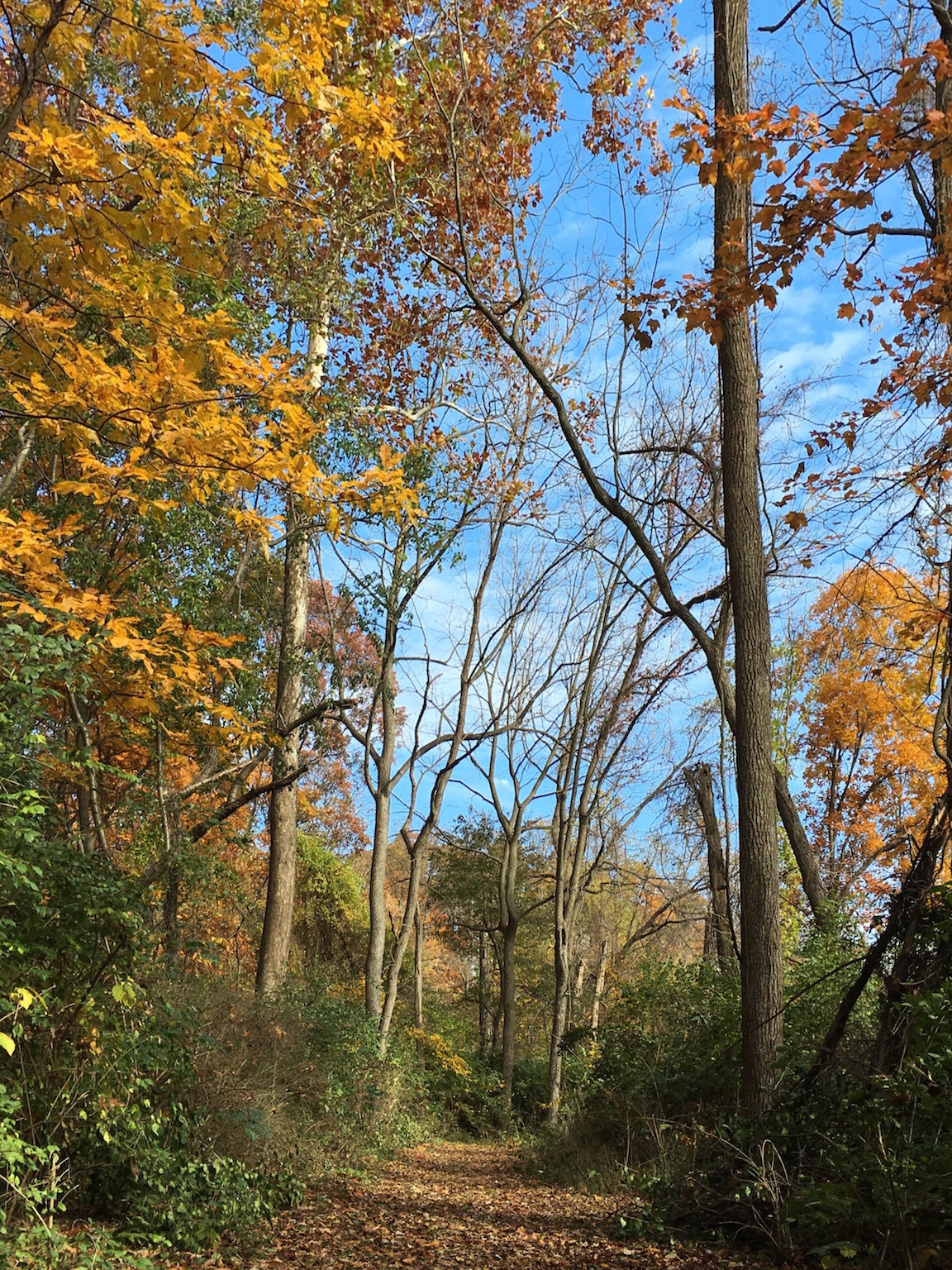
I really like this capture. I was disappointed with my previous version because the post-processing was limited by the application I used to correct the perspective of the original.
The iPhone (like all phone cameras) uses a lens with a fairly wide angle focal length (for the sensor size). My guess is that the perspective of the iPhone 6S camera is equivalent to about a 28mm lens (for the 35mm format). The thing about wide angle lenses is that they tend to make vertical objects appear to lean over (either backward or forward, depending on which direction the camera is tilted). In my capture, I tilted the camera back to bring in more of the trees and sky and to put the path near the bottom of the capture. Therefore, the trees appear to lean backward, although they don’t.
I have on older application (from my previous use of the iPhone) called Perspective Control. It’s a simple program to use and works well. My only gripe about the software is that it will only export an image with a size of 1,152 pixels on the long axis. That’s a loss of about three-quarters of the linear dimension of the camera output. That is not acceptable.
So, I found another application yesterday, SKRWT, that does the same thing as Perspective Control. I spent the three bucks for the software, then reworked the image. I adjusted the perspective using SKWRT, then post-processed the corrected image using Photogene4. I had to downsample the result slightly to work with my weblog, but the result is superior to my previous attempt.
I think this one is a keeper. The capture is not bad at all for a phone camera.